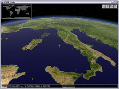
WW2D is very similar to Google Earth, displaying almost identical quality by showing the maps of the whole world that you can deal with the way you want.
Thanks to the satellite used by WW2D the resolution of the images obtained is maximum, allowing you to observe even the smallest detail of all locations. On the other hand, it puts at the reach of a single click from topographic maps to relevant information.
Through the WW2D menu you can quickly find both the maps and other data associated with the term entered in the integrated search engine, later adding those you want to store to a list of favorites.
show more
- Download WW2D 0.99.88 Download


